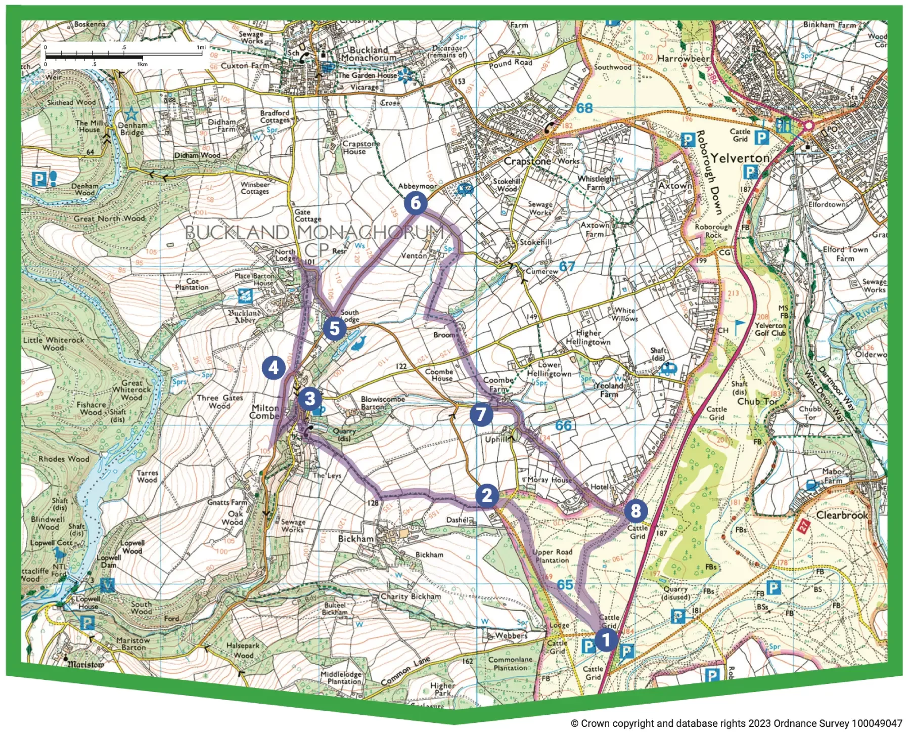
Milton Combe & Buckland Abbey

Moderate
6 miles (9.6km)
3 hours
PDF download of walk PDF download of walk

A beautiful undulating walk through fields and along quiet lanes on the Devon side of the Tavy Valley, best undertaken in springtime when the hedgebanks are awash with wild flowers – and with a traditional country inn around the halfway mark.


This lovely up-and-down walk explores the fields and lanes on the eastern fringe of the Tamar Valley National Landscape, with far-reaching views over the wooded Tavy valley. The route starts across Roborough Down – look out for ponies – then runs through rolling pastures to the secluded village of Milton Combe, before clipping the edge of the National Trust’s Buckland Abbey estate. The hedgebanks are stunning in springtime: enjoy swathes of lady’s smock, bluebells, violets, greater stitchwort, herb robert, buttercups, red campion and dandelions.

Key facts

Start/Finish Parking area, Common Lane (100 yards west of A386) SX 508647, PL7 7BH

Moderate
6 miles (9.6km)
3 hours
Parking area, Common Lane (100 yards west of A386) SX 508647, PL7 7BH
None on route

Terrain

Undulating fields paths and tracks, quiet lanes.

Public Transport

Bus services to/from Postbridge, Princetown, Tavistock, Yelverton (to Milton Combe)

Dogs

Under control at all times; on leads on moor and farmland 1 March–31 July (livestock and ground-nesting birds) and in Buckland Abbey estate

Step Image

Directions

Step 1

SX 508647

With your back to the road, turn left through a stone-faced gap in the low enclosure bank, and cross rough ground to find two breeze-block water troughs

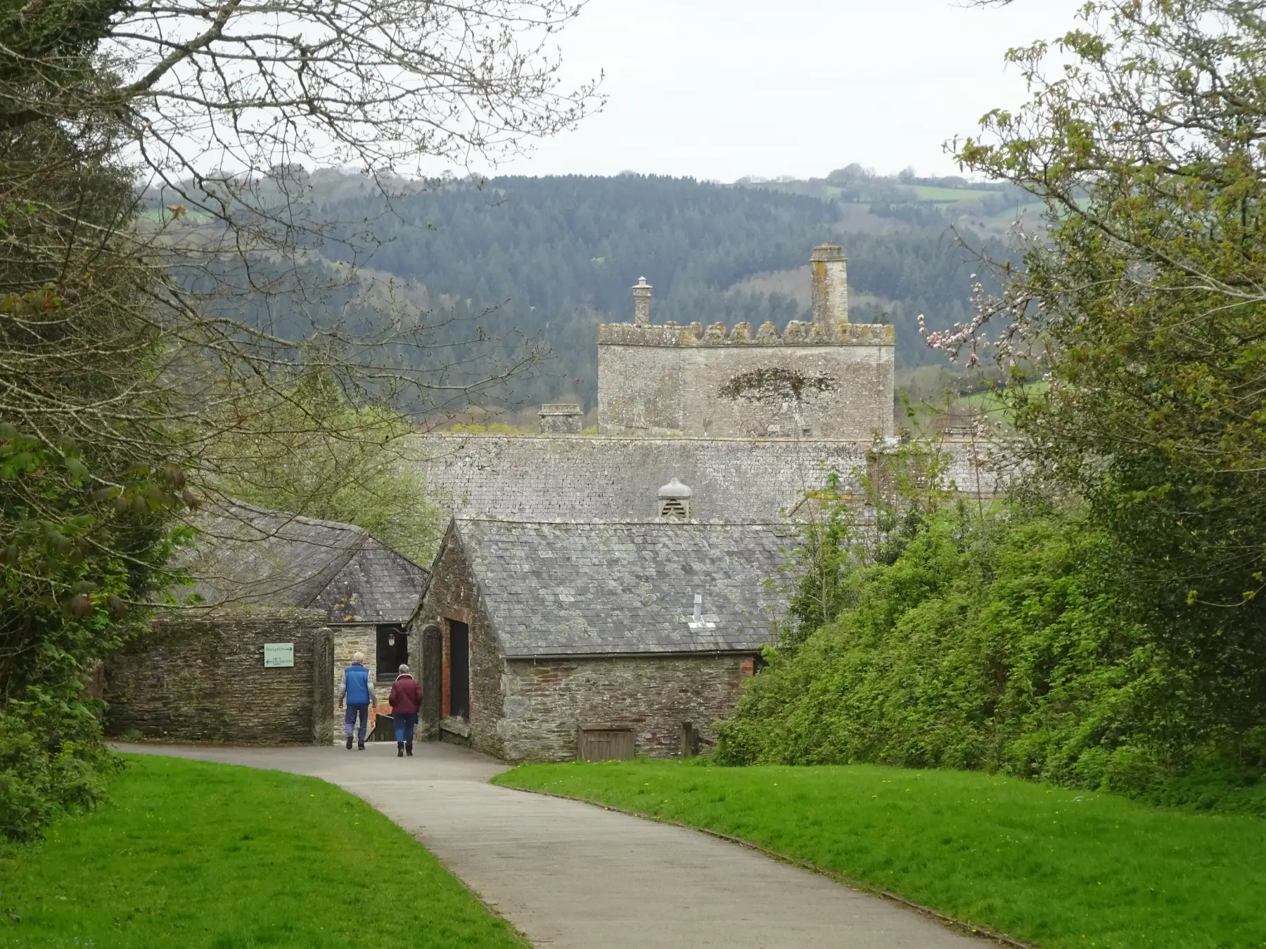
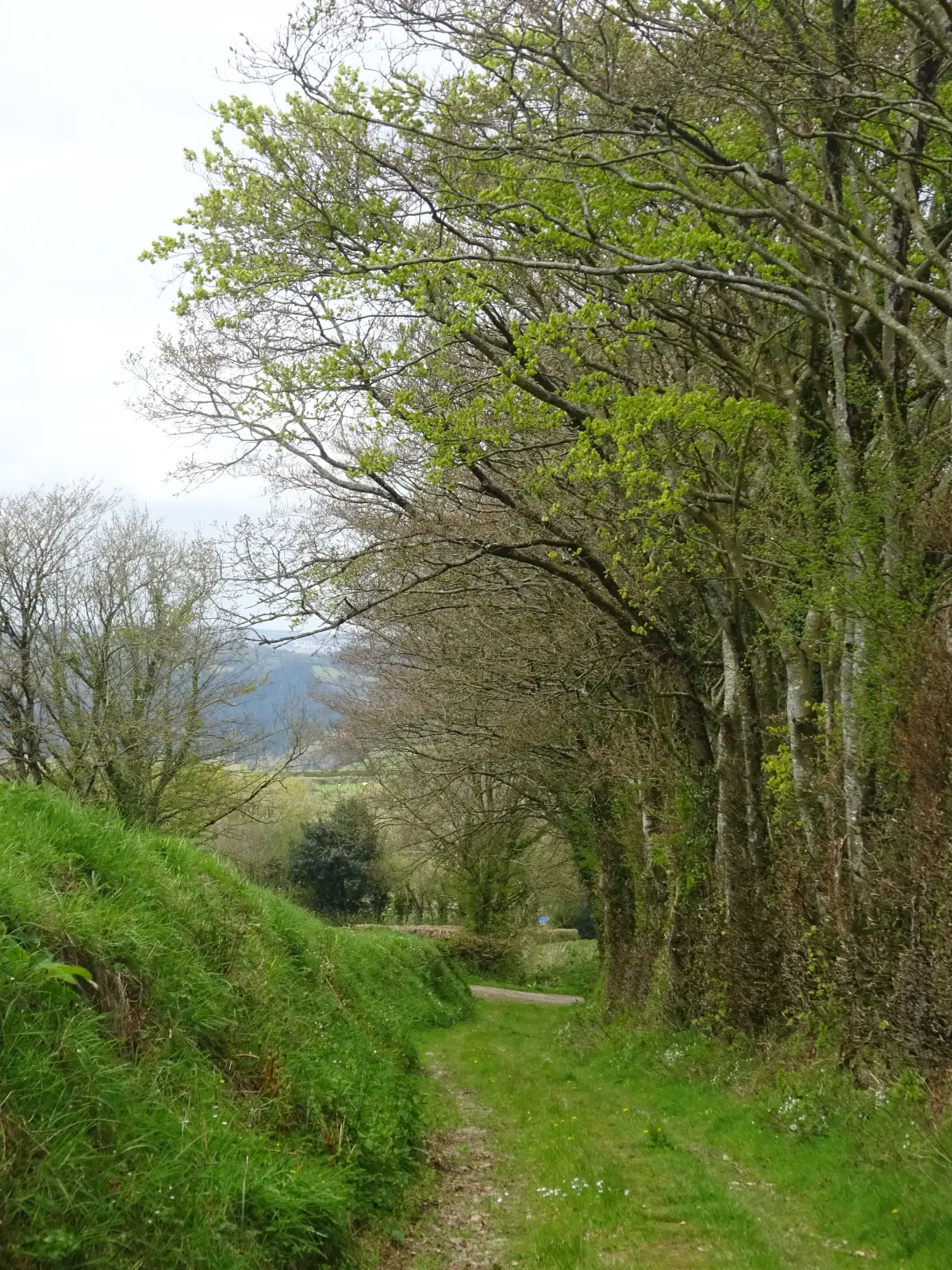
Pass left of these and continue in the same direction; on approaching the lane on the far side of the common bear right on a path. Pass a parking area; eventually bear left to reach the lane opposite the drive to Bickham (by a grey house). Turn right, soon passing a junction; the lane starts to descend.

Step 2

SX 501654

At a cattle grid sign bear left to find a footpath through a kissing gate. Enjoy wonderful views towards Gunnislake and Kit Hill on the Cornish side of the Tamar Valley. Keep along the left edge of four fields, at times between banks of blackthorn and hawthorn, negotiating several gates. At the end of the last field a small gate leads onto a beautiful green lane. Turn right through another gate, descending gently alongside beautiful beech trees. Meet a track junction; continue downhill to reach a tarmac lane on a U-bend, and take the left track. Where the lane bends left take a narrow footpath ahead. The descent becomes steep and rocky, so go gently. Descend past a cottage; in front of it turn right to meet a lane by the Church of the Holy Spirit. Turn left to cross the Milton Brook. Turn right through the village to reach the Who’d Have Thought It Inn. The building is recorded as being a pub since at least the 1806 census, at which time it was known as the Welcome Inn.

Step 3

SX 488661

Pass to the left of the pub and immediately turn left up a narrow footpath between April and Cuckoo Cottages. Ascend rapidly between high banks, with lovely views over the village. Climb steadily to meet a lane, then turn right.

Step 4

SX 488663

Opposite the turning to Milton Combe, turn left over a Cornish stile. Pass a bus turning area, then go through a kissing gate into a field: Buckland Abbey car park comes into view ahead. A Cistercian monastery dating from the late 13th century, the abbey fell foul of Henry VIII’s Reformation. Later in the 16th century it was developed into an impressive mansion, home to Sir Richard Grenville and then Sir Francis Drake, the first Englishman to circumnavigate the globe (1577–80). Keep alongside the left fence and go through a gate. Head across the next field, pass through a gate and cross two tarmac ways to find a kissing gate into a meadow. Descend to another gate; cross a strip of woodland, then a tarmac way, then ascend through woodland to gain a lane via yet another kissing gate. Turn right; follow the lane down, then up to reach a staggered crossroads by South Lodge (Abbey Cross).

Step 5

SX 490666

Turn left, signed to Crapstone.

Step 6

SX 496673

Turn right on a quiet lane (Venton/Stokehill), to pass Venton Farm. Where the lane bears left (after c. ½ mile) bear right through a kissing gate at a footpath sign. Bear diagonally right across the field, descending gently. Meet a track in the middle; turn left. Pass through a gate and follow the left edge of the next field. The track passes through an open gateway then crosses a stream; turn left alongside it, turning right at field end and ascending to a small gate in the top corner. Head up the left hedge of the next field to emerge onto a lane via a kissing gate. Cross over, go through a gate, head across the field and through another gate (look out for horses). Follow the left hedge downhill, passing a footpath junction. At the bottom pass through a gate; immediately turn right through another, and head down the next field. Cross a brook on a footbridge; a few steps on a kissing gate gains the lane.

Step 7

SX 500661

Turn left between tree-covered banks to pass Coombe Farm, and reach a junction. Turn left, downhill, then ascend gently past Uphill Farm – look out for the restored barn, dating from 1702 – to reach the common. Pass the entrance to former Moorland Garden Hotel, and then the back drive.

Step 8

SX 509654

Look out for three boulders on the right, and turn right on a broad grassy way that roughly parallels the A386. When the parking area comes into view – at a path fork – keep left and pick your way back to the start point.

Step