Gunnislake Clitters Mine

Moderate
4½ miles (7.2km)
2½ hours
PDF download of walk PDF download of walk

Dig deep into the industrial history of the Tamar Valley on this lovely circular route that explores several old mining sites on the steep wooded slopes around Gunnislake.


An extraordinary number of fascinating reminders of the Tamar Valley’s industrial past are crammed into this 4½-mile circular route – give yourself enough time to do it justice! It’s a leg-stretching route that starts high up on the west side of the valley at Gunnislake and following old paths and tracks to the river, with a correspondingly steep climb up to Chilsworthy.

There are plenty of surprises along the way: Drakewalls Mine, Gunnislake Clitters Mine, the East Cornwall Mineral Railway, Skinner’s Shaft… and even a Victorian brickworks.

Key facts

Start/Finish Gunnislake Station SX 427709, PL18 9DT

Moderate
4½ miles (7.2km)
2½ hours
Laneside in Well Park Road
None on route

Terrain

Steep descent into/steep ascent out of Tamar Valley; woodland tracks and quiet lanes; some rough paths

Public Transport

Rail services Tamar Valley Line to/from Plymouth; bus services to/from Callington and Tavistock.

Dogs

Under control at all times . This trail takes you through areas of historic mining remains and has a number of associated hazards. Please take care not to place yourself and others at risk.

Step Image

Directions

Step 1

SX 427709

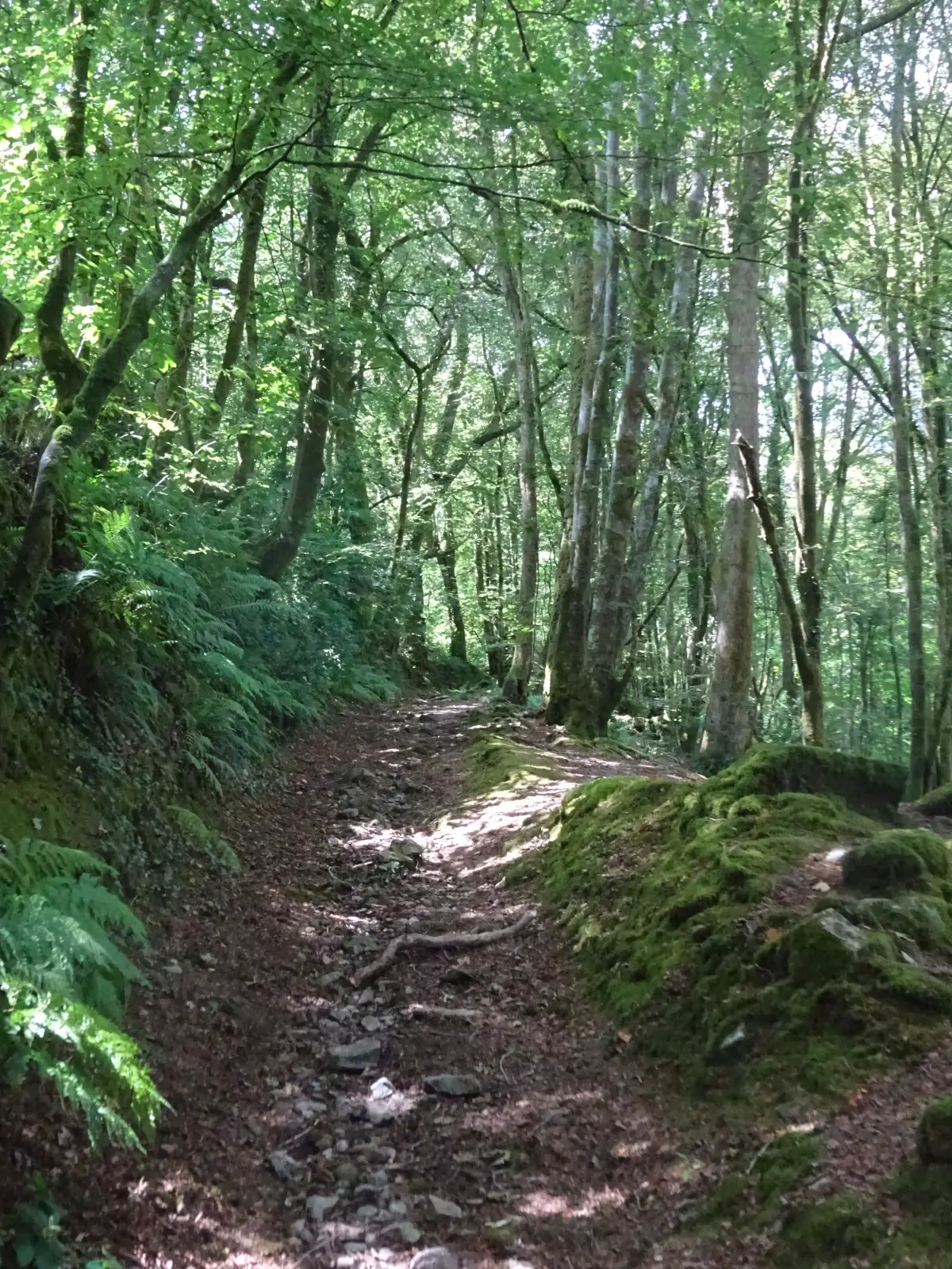
From the station entrance turn right, then right again onto Well Park Road. After 200 yards turn right under the railway bridge. Where the track bears left, bear right on narrow tarmac path that winds uphill to meet Cemetery Road.
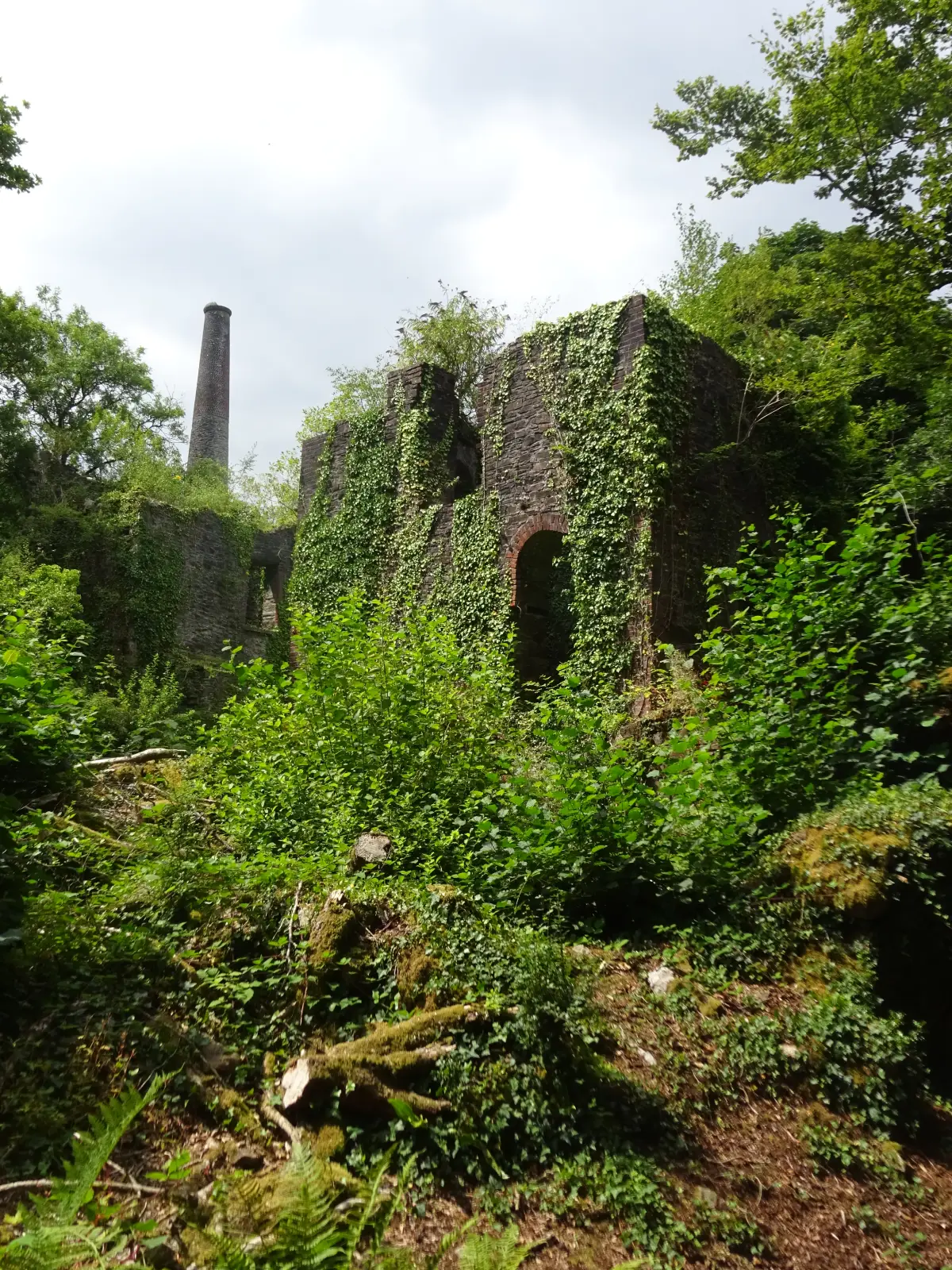
Turn left to reach the remnants of Drakewalls Mine, once the richest tin mine in Cornwall; by the early 19th century it was producing so much tin that it had its own smelter. The first recorded mention of the settlement of Drakewalls – named after the mine – dates from 1815. The Tamar Valley Centre, home to the Tamar Valley AONB offices and a zero-carbon building which generates its own electricity, can be seen ahead.
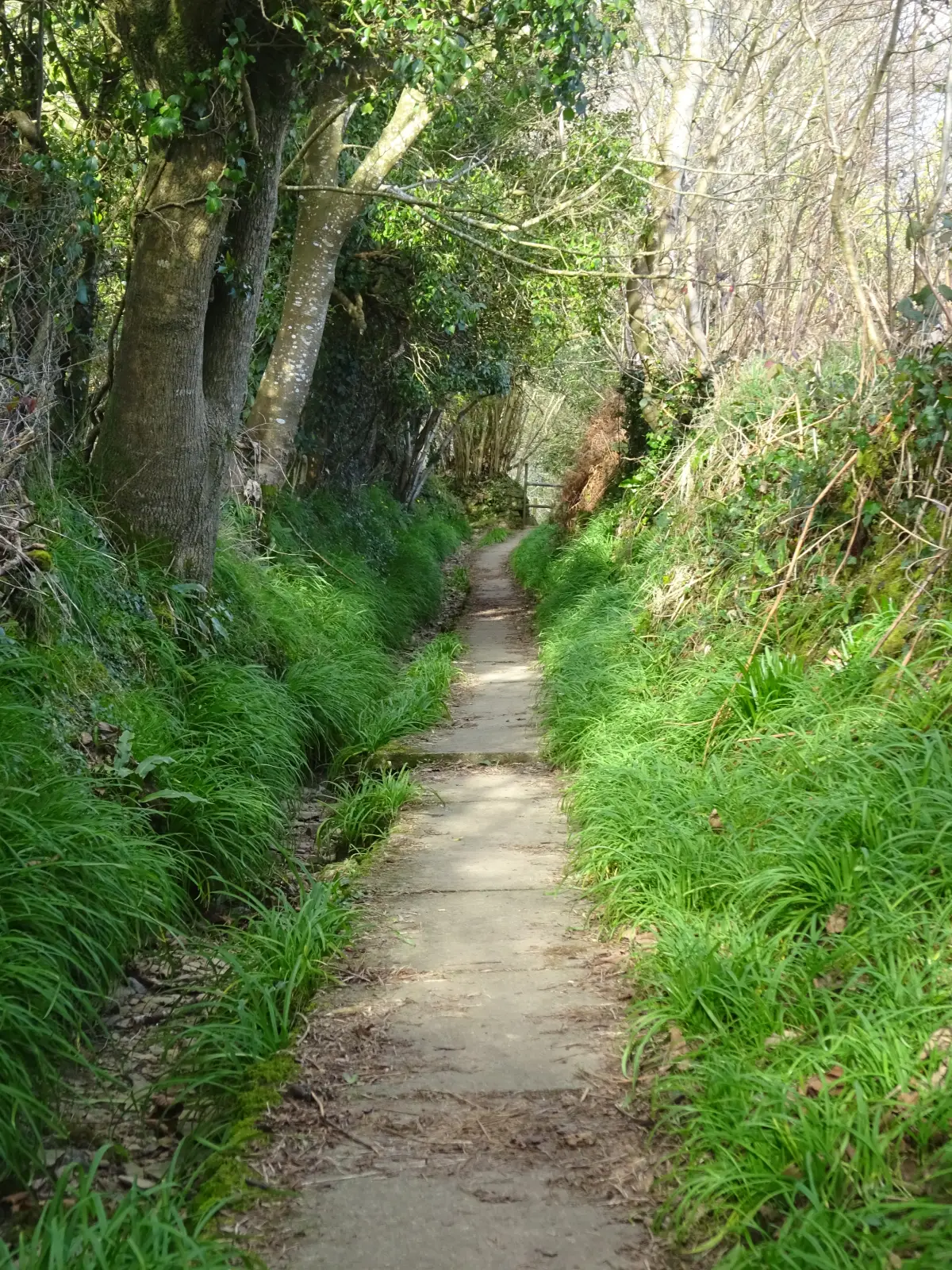
Just before reaching the gate giving access to the mine site, turn right up a narrow lane that ascends to the A390. Cross with care; head up the ‘No Entry’ lane opposite, then continue on Delaware Road.

Step 2

SX 423710

After about 300 yards turn right down a paved footpath, passing old cottages. Cross a stile; continue downhill, alongside a stream, and between the stone piers which supported a bridge on the East Cornwall Mineral Railway, opened in 1872 to Calstock on the River Tamar. Emerge onto a concrete way and continue downhill, bearing right past Coombe Farm House (17th century) to meet Station Road.
Turn left, downhill, through Middle and then Lower Dimson, where the lane narrows between walls. In medieval times this was the main road to the river. The rows of terraced cottages date from the growth of mining in the 19th century: the main east–west lodes of the Old Gunnislake Mine lie beneath the ground.

Step 3

SX 429719

Where the lane bears very sharp right and downhill go straight on, keeping right at a fork (lower path). Where the track ends (by an open shed), keep ahead down a narrow shady path, between stone-faced banks. Stay on the main path down into the valley, keeping right at a fork, then left a few paces later. New Bridge (dating from around 1520), over the Tamar, is concealed by trees below. At the bottom steps descend to a track.

Step 4

SX 432723

Turn left, now on the Tamar Valley Discovery Trail/Tamara Coast to Coast Way. On reaching a junction (the tracks ahead left and right are private) follow the middle path (blue arrows), passing a wooden building. The narrow path descends gently and broadens, soon entering Clitters Wood (private); below the path are the embanked walls of a tramway along which horse-drawn wagons transported ore to the quays below New Bridge, at one time the highest navigable point on the river.
Continue along the path, below wooded slopes studded with ruined walls, shafts, trial pits and trenches, eventually running close to the river.

Step 5

SX 422723

The river rounds a slight right-hand bend; the path starts to ascend a little. Look out for some rough wooden steps, and turn right towards the river. Follow the narrow path to reach a flight of steps (left) at the bottom of Gunnislake Clitters Mine, which produced tin and copper periodically from the 1820s for about 100 years. Walk on a few paces to see the towering remains of the waterwheel pit and Riverside engine house: a discoloured stream trickles into the river. Head up the steps by the retaining wall and make your way up through the mine site, to reach the track at the top. It’s hard to imagine that the mine was once linked to the East Cornwall Mineral Railway by a tramway, and that these wooded slopes were once treeless, home to sheds, settling ponds, arsenic labyrinths and all manner of industrial structures.
Turn right, uphill, under soaring beech trees, to reach a lane.

Step 6

SX 418723

Turn right, downhill – a bit of a breather! – past the site of 19th-century South Devon Mine (Wheal Bramble, private). The road bears sharp left and heads uphill, ending at the gates to two houses. Take the rocky track ahead – probably a medieval holloway – and ascend very steeply to reach the road in the scattered village of Chilsworthy.
Turn left (the TVDT turns right) to pass the Wesleyan chapel (1907) and the White Hart Inn, first mentioned in 1841.

Step 7

SX 416720

Opposite the pub car park bear right on a narrow ascending lane. Where it bends right keep straight ahead on a path that eventually levels alongside the overgrown disused trackbed of the East Cornwall Mineral Railway. Pass the site of Chilsworthy Halt, closed under the Beeching cuts in 1966, and meet the lane by the old railway bridge.

Step 8

SX 419719

Reach a T-junction in Middle Dimson, turn right and retrace your steps uphill, passing Coombe Farm House and the outward path. Cross the old railway bridge; where the road starts to bear very slightly right, bear left on a narrow path that emerges onto Chawleigh Close; at the T-junction turn right on Sand Hill Park (site of the old Gunnislake station: the current one dates from 1994) to reach the A390 opposite the station.

Step