Tuckermarsh Quay & the River Tamar from Bere Alston Station

Moderate
2½ miles (4.2km)
1½ hours
PDF download of walk PDF download of walk

A short, flower-filled, circular walk – perfect for a warm spring day – down to Tuckermarsh Quay and through beech woodland alongside the River Tamar.


The Bere peninsula is famous for its industrial and market gardening heritage. Silver and lead mining dates from medieval times, with a revival in the 19th century. The steep and sheltered slopes of the Tamar Valley have long provided ideal conditions for growing apples, cherries and especially daffodils, sent to markets in London and Plymouth by train. This pretty little walk passes through old daffodil fields, then visits Tuckermarsh Quay. Daffodils and strawberries were grown in this sheltered spot well into the 20th century.

OS Explorer 108 Lower Tamar Valley & Plymouth; OS Landranger 201 Plymouth & Launceston

Key facts

Start/Finish Bere Alston Station SX 440674, PL20 7ES

Moderate
2½ miles (4.2km)
1½ hours
Parking at the station is reserved for rail users. If arriving by car, park sensibly where Station Road widens (above the 30mph sign), c. ½ mile uphill from the station. Boots recommended (shallow streams to cross).
None on route

Terrain

Steady descent to river; steep ascent through Butspill Wood

Public Transport

Rail services Tamar Valley Line to/from Gunnislake and Plymouth; bus services to/from Bere Ferrers and Tavistock

Dogs

Under control at all times

Step Image

Directions

Step 1

SX 440674

Bere Alston Station opened in 1890 and was important for the onward transport of local market garden produce into the early 20th century.

Head down the access lane; 25 yards before reaching it turn sharp left on a bridleway track. The track parallels the old railway line to Tavistock, and passes houses.

Step 2

SX 443673

Where the track bears away sharp left, follow the bridleway ahead, into woodland. The bridleway (parts muddy after wet weather) bears left and passes under the old railway line.

Emerge from the trees and the landscape opens up, with glorious views towards the Tamar Valley upstream of Calstock. Look out for old market garden fields on both sides of the path, still providing a lovely display of daffodils in early spring.

The bridlepath reaches a junction with a concrete track.

Step 3

SX 446674

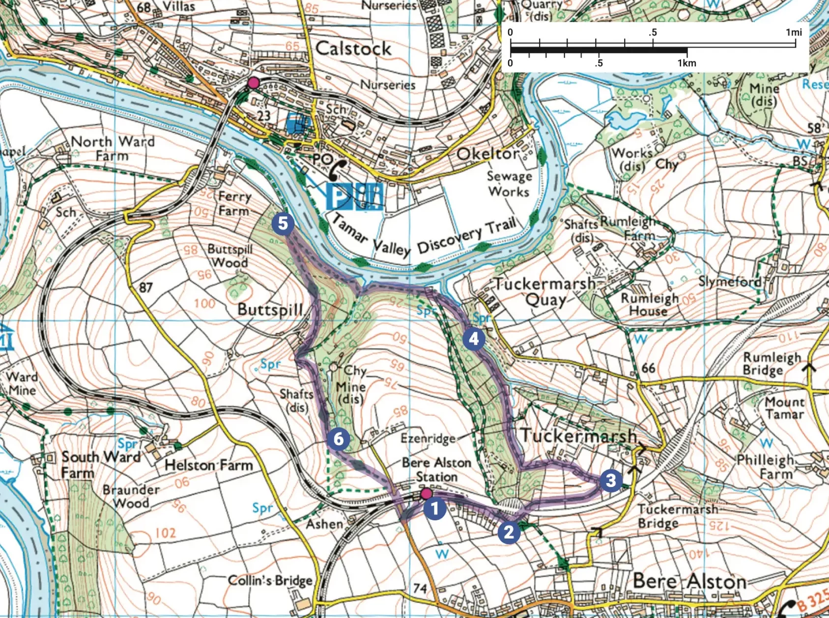
Turn left, downhill, on a footpath track, between fields that once would have been flooded with daffodils. In 1984 there were more than 40 flower, fruit and vegetable farms in the Bere peninsula; in 2010 there were still five farms that sent away daffodils; now there is only one remaining daffodil exporting farm.

Stay on the main track, continually descending; where it bears right, look out for a footpath sign (on the right of the track) and bear left between fences, and cross a stream.

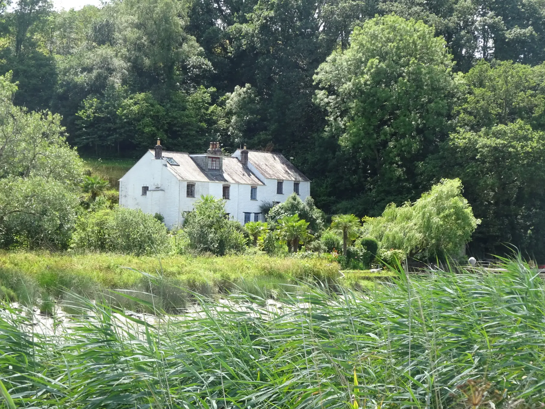
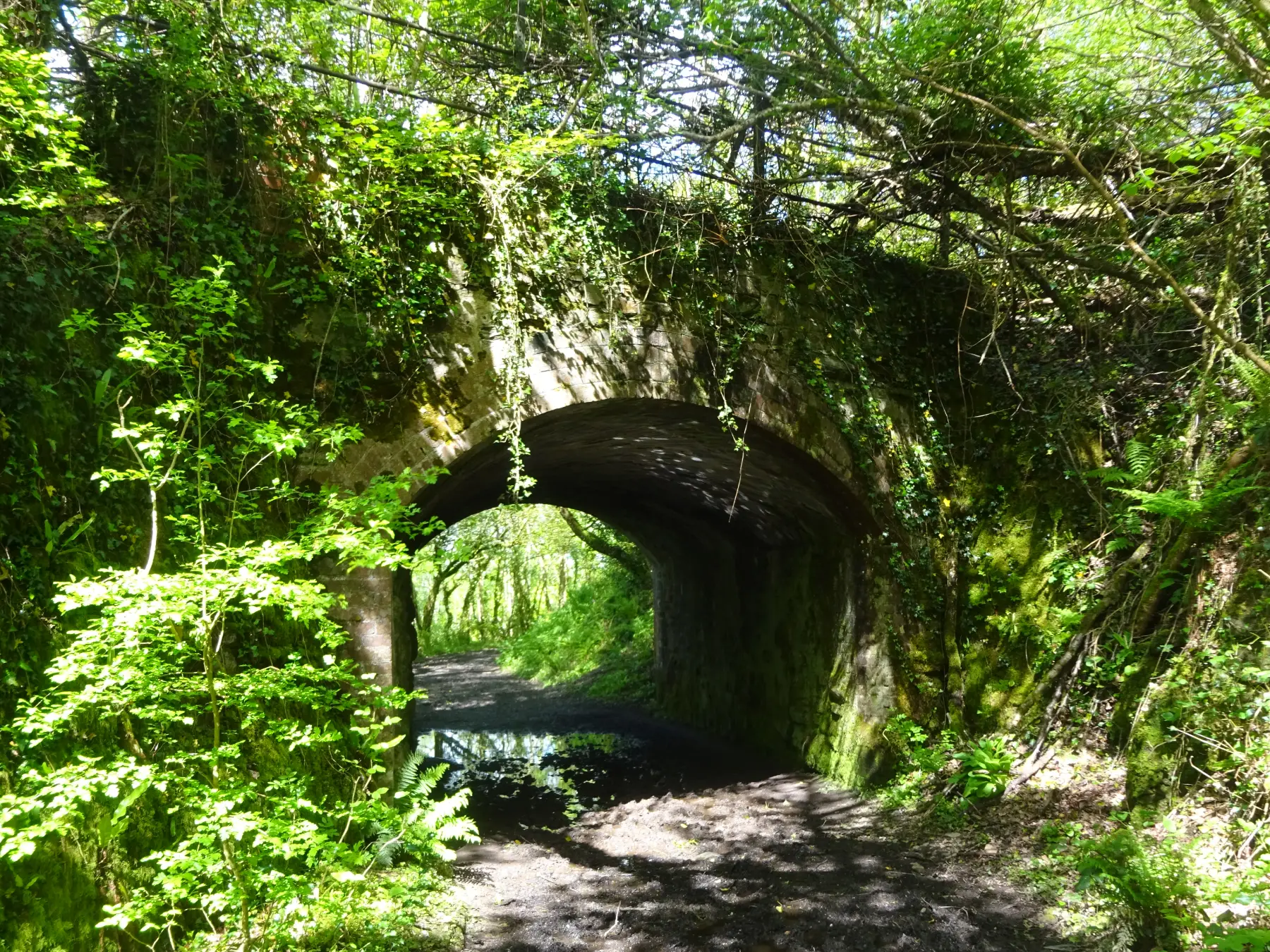
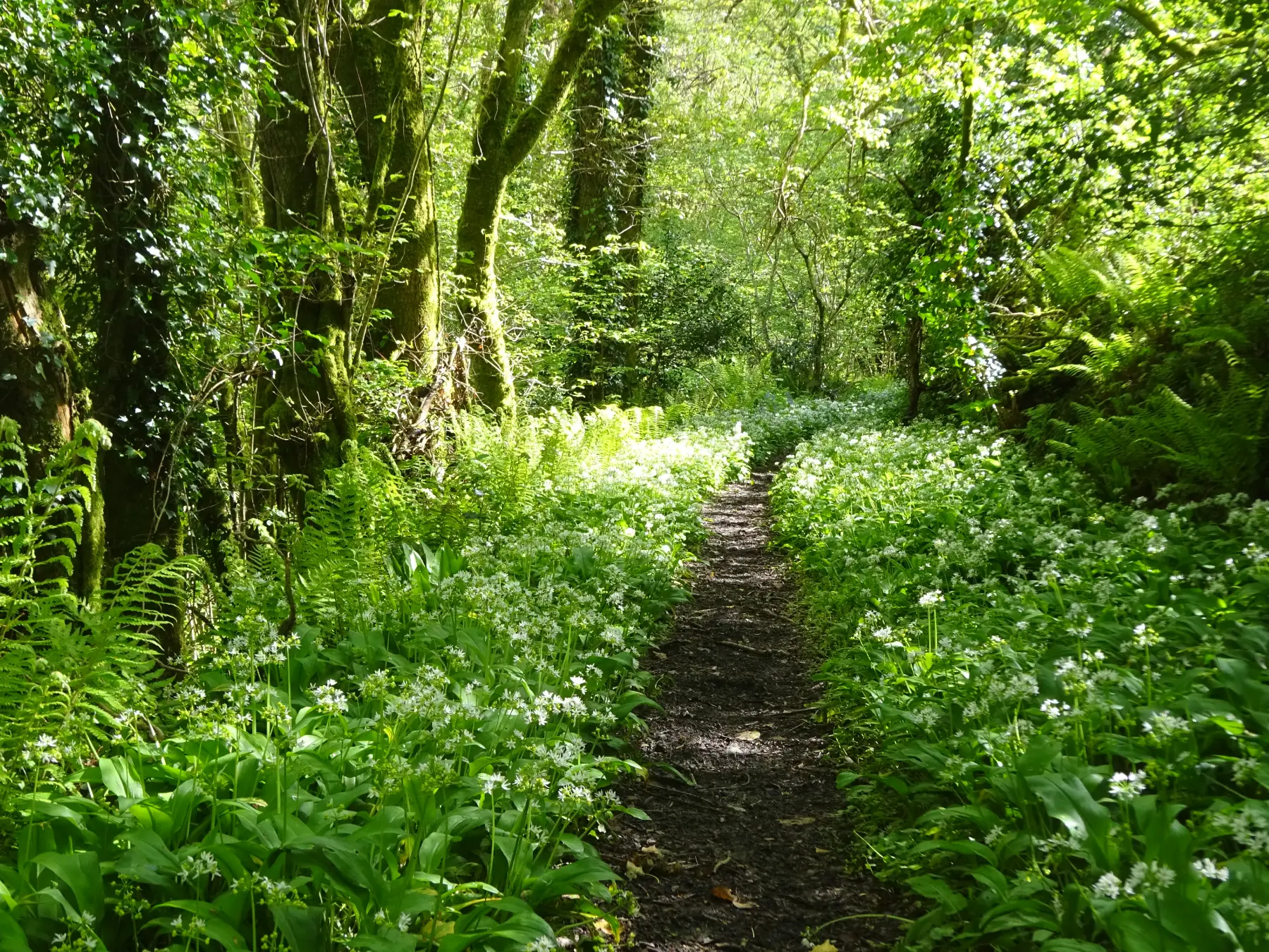
Follow the path down through beautiful woodland (between banks of wild garlic in springtime), above the ‘babbling brook’. Cross another stream under dense stands of laurel, and continue to descend gently, passing a footpath and bridge.

Step 4

SX 442679

Meet a track by a bridge (private access right) and keep straight on. Pass a footpath junction and follow a narrow path immediately in front of 19th-century Tuckermarsh Cottages, which enjoy wonderful views across the river and intertidal marsh on the opposite bank.

A gate leads into woodland; at a footpath junction keep straight on above the river – you’ll be able to catch glimpses of the Calstock Viaduct (built 1904–7 to connect the railway at Bere Alston with the East Cornwall Mineral Railway – now the Tamar Valley Lin to Gunnislake) through the trees.

Descend to a little creek, cross a stream and pass another footpath junction. Continue on above the river, now on a more undulating path, through beautiful beech woodland. Eventually reach a footpath post; keep ahead for 50 yards to find another.

Step 5

SX 435683

Turn sharp left and ascend through Butspill Wood. At the top the path drops a little below Buttspill; keep straight on at a path junction. Below the path, in the trees, fenced-off shafts mark the site of silver and lead mines.

Two parallel mineral lodes run north–south along the peninsula. The mines – many dating back to medieval times, and reaching their height in the 19th century – were some of the most prized in England, and originally owned by the king.

Leave the wood via a kissing gate.

Step 6

SX 437675

At a footpath post keep ahead to cross a stream then head up the field, alongside woodland, aiming for a couple of houses. Go through a kissing gate to reach a track.

Turn right; pass under two railway bridges (the line to Gunnislake, and then Plymouth), then turn left to return to the station

Step 7

Step