Lopwell Dam & Blaxton Wood

Hard
Short walk: 3¾ miles (6km); long walk: 4¼ miles (7.2km)
Short walk: 2 hours; long walk: 2½ hours
PDF download of walk PDF download of walk

A pretty and peaceful walk on the Maristow estate alongside the Tavy and through Blaxton Wood, with long and short return options – both involving a bit of a climb! – via quiet tracks and lanes.


Lopwell Dam – constructed in 1953 to boost Plymouth’s water supplies – is a tranquil spot on the River Tavy. The surrounding area (a Site of Special Scientific Interest and Local Nature Reserve) is known today for its plentiful wildlife, attracted by a range of habitats: woodland, marshes – freshwater above the dam, saltwater below – and mudflats. The river can be crossed on a narrow walkway, inaccessible for two hours either side of high tide. The walk passes below Maristow House, built in 1760; an earlier building at this location was associated with Plympton Priory, prior to Henry VIII’s dissolution of the monasteries in the mid-16th century

Key facts

Start/Finish Lopwell Dam SX 474649, PL6 7BZ

Hard
Short walk: 3¾ miles (6km); long walk: 4¼ miles (7.2km)
Short walk: 2 hours; long walk: 2½ hours
Lopwell Dam car park (SW Lakes, no charge)
None on route

Terrain

Narrow woodland path above river, exposed in places; field paths (long route) and quiet lanes; steep climb on return (both routes)

Public Transport

None available

Dogs

Under control at all times; on leads at Lopwell Dam

Step Image

Directions

Step 1

SX 474649

From the car park turn right along the lane, on the Tamara Coast to Coast Way (TCCW). Just before the lane bears left, uphill, across parkland, turn right on a lane alongside the river. Look out for a gate on the right, giving access to a narrow permissive path along the riverside embankment, which skirts marshy ground and eventually re-joins the lane via a stile.

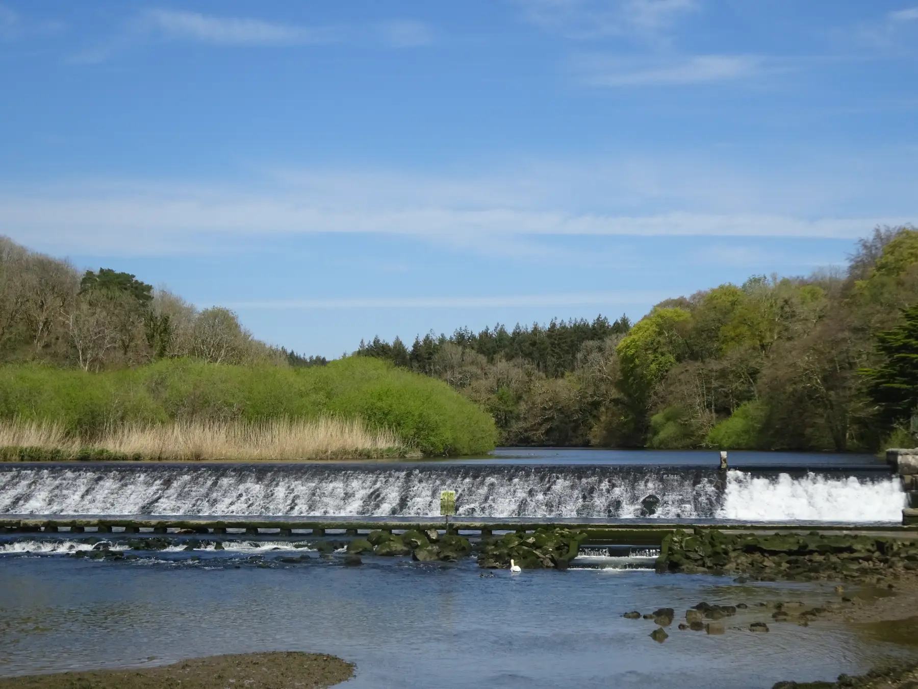
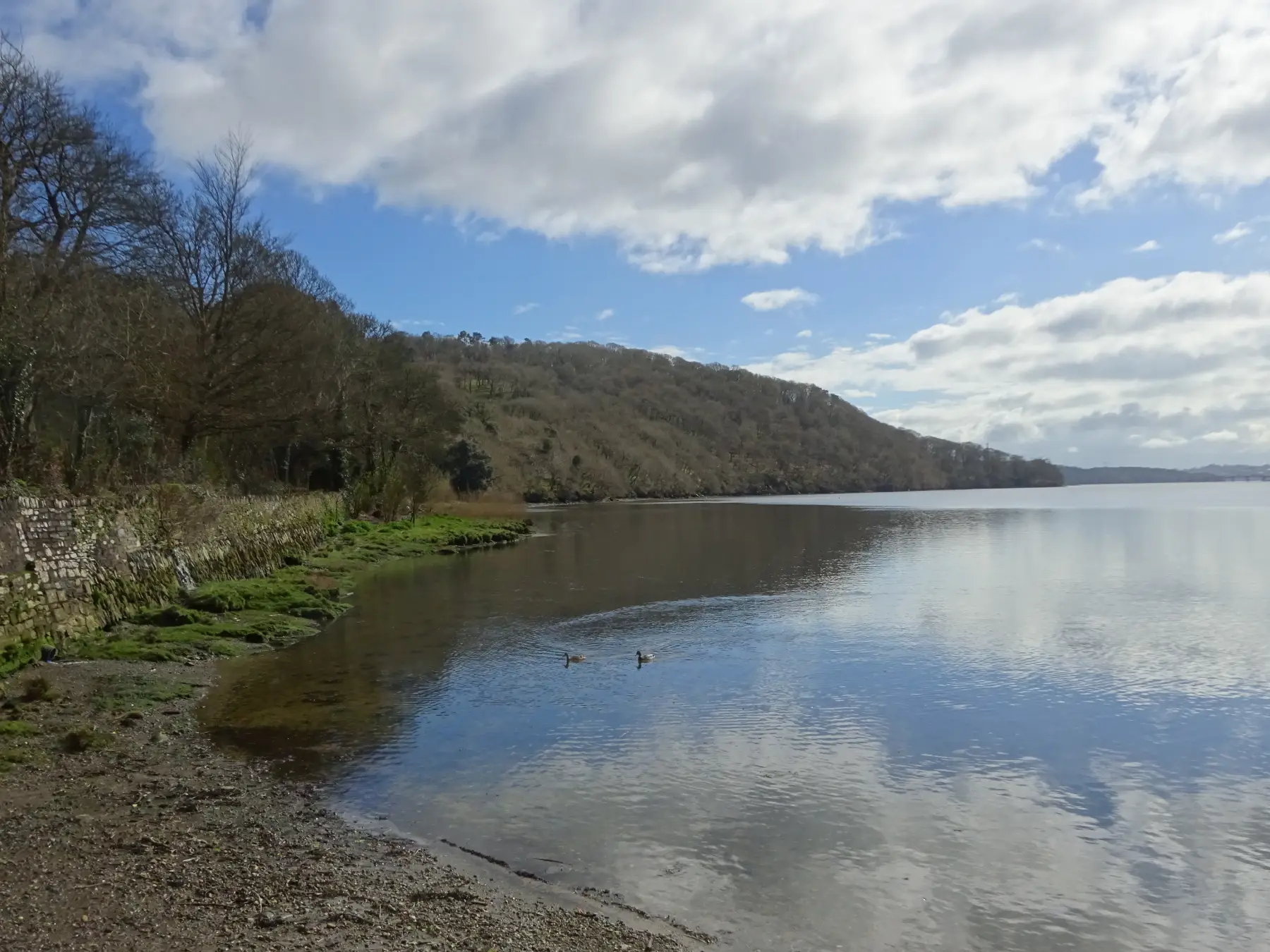
Turn right to pass the site of Maristow Quay, where the river broadens into an estuary. The quay was developed in the 19th century, on the site of earlier jetties; silver and lead from mines on the Bere peninsula were shipped out from here.

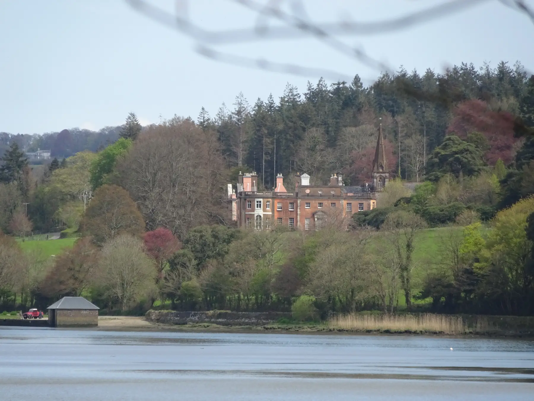
A sign warns vehicles not to cross the river at an old ford by the quay – still a legal road –which once led to Gnatham. Pass an entrance to Maristow Gardens, and cross Potter’s Bridge.

Step 2

SX 471640

A few paces on bear right through a wall gap into Blaxton Wood. Follow the narrow permissive path along the riverside edge, soon crossing a stream via a small bridge in combe, the slopes carpeted with wild garlic in late April.

The beautiful path runs under beech and oak trees and is exposed in places (there’s a steep drop into the water below), with increasingly good views towards Gnatham and Bere Ferrers on the opposite shore. Pass the remains of a ruined boathouse, and later a small ruined building as Blaxton Point is approached.

Pause at the viewing point – a mock fortification, built in the 19th century – and bench at the mouth of Blaxton Creek, from where there are excellent views of Bere Ferrers and church. Head right, inland, along the edge of the creek, noting the substantial remains of Blaxton Quay on the opposite shore: the large 18th/19th-century limekiln supplied burnt lime for use as fertiliser over a large local area. The path threads inland through the woodland, eventually alongside the meandering tributary stream.

Step 3

SX 471628

Round a stile to emerge on to a track (an old lane, now closed to traffic), just uphill from a ford, and turn left, uphill (the TCCW turns right), above Ashleigh Bottom. The lane levels to reach another on a bend.

Step 4

SX 473628

SHORT WALK Turn left and head steadily uphill; near the top enjoy great views downriver to the Tavy Bridge, built in 1899 to carry the London and South Western Railway’s main line between Plymouth and London Waterloo (now carrying the Tamar Valley branch line). This delightful lane is awash with flowers in springtime: primrose, red campion, greater stitchwort, crabapple, dandelion, hedge mustard, herb robert, bluebells, hedge bedstraw, navelwort, dog violet, honeysuckle and dogrose. Continue downhill, passing a group of Scots pines, to pass the entrance to Blaxton Wood (Point 2) and re-join the outward route.

LONG WALK Cross the lane; round an old iron gate and continue up a rough ascending byway track, soon passing through another gate. Continue up the left hedge, ascending steeply, passing some splendid oak trees, and go through another gate. Continue uphill, initially between banks of gorse and blackthorn, with increasingly good views to the right, across rolling pasture, towards buildings on Plymouth’s northern edge. Eventually the shoulder of the hill is reached, and the track levels a little, passes through a gate then ascends again, much more gently, between hedgebanks. At long last the track starts to descend towards buildings at Pound – a pleasant stretch. The byway passes between farmhouse and farm buildings and then up the drive to meet a lane on a bend near Pound Cross. Look left and you should be able to spot Caradon Hill on Bodmin Moor, identified by the transmitter mast on its summit.

Step 5

SX 485639

Turn left to pass cottages and a line of superb oak trees. At the next lane junction keep left (Milton Combe right) and then follow the peaceful lane – the views ahead are glorious, stretching into Cornwall – down into the Tavy valley, passing Maristow Barton and another lane to Milton Combe. Continue downhill, eventually bearing right to Lopwell Dam.

Step